When local authorities acquire downtown commercial properties, evaluating structural integrity and capturing site layout data are immediate priorities. Renting boom lifts or erecting scaffolding just to inspect a roof costs thousands of dollars before any work begins.
Unmanned Aircraft Systems (UAS) eliminate those upfront costs while expanding how we market and develop downtown properties. Drones provide high-resolution visual data in under an hour across our entire economic development workflow. They are especially useful in the early due diligence stage described in my adaptive reuse playbook for blighted Georgia buildings.
Keeping Operations Legal Under Part 107
Under FAA regulations, using drone imagery to support municipal development, site marketing, or authority operations constitutes commercial flight under 14 CFR Part 107. [1] Flying under recreational rules is illegal for civic or authority work.
I am currently studying for my FAA Part 107 Remote Pilot Certificate. To maintain strict legal compliance and keep the FAA off our back, every flight we conduct for DDA properties uses a licensed Part 107 Remote Pilot in Command (PIC).
Part 107 rules allow an uncertified individual to manipulate flight controls if a certified pilot stands directly alongside them, serving as the official Remote PIC with immediate overriding control. [1] This setup lets us capture critical property footage safely while I complete my training.
If you want to earn your own license, prepare with the Pilot Institute Part 107 Course, which covers airspace classifications, aviation weather charts, and operational safety rules.
High Utility Without the Enterprise Price Tag
A common misconception among local boards is that drone operations require thousands of dollars in enterprise equipment. In reality, compact sub-249 gram drones priced under $400 capture crisp 4K video and high-resolution stills that meet municipal needs.
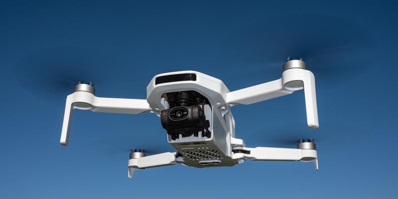
Options like the DJI Mini 4K and the Potensic Atom 2 offer three-axis mechanical gimbals, reliable GPS stabilization, and sharp sensors at a fraction of the cost of commercial setups.
Even at this small size class, these aircraft support the Remote ID capability required for compliant commercial operations under current FAA rules. [2]
For our operations, I rely on two specialized platforms:
- Potensic Atom 2: Handles all outdoor site overviews, multi-parcel mapping, and exterior masonry scans.
- DJI Avata 2: Provides interior building walkthroughs. Its built-in propeller guards, 4K camera, and responsive First-Person View (FPV) flight controls let us maneuver safely inside tight, blighted historic structures to evaluate interior floor joists and water damage.
4 Ways We Deploy Drone Imagery in Local Development
While structural inspection is a core use case, aerial photography drives broader downtown growth strategies.
1. Historic Preservation and Building Inspections
Drones inspect high-elevation masonry, chimneys, and parapet walls without placing inspectors on ladders. We fly standardized vertical scans and roof grids to evaluate:
- Water pooling on flat membranes.
- Deteriorated mortar joints on historic brick facades.
- Loose or corroded flashing along parapet edges.

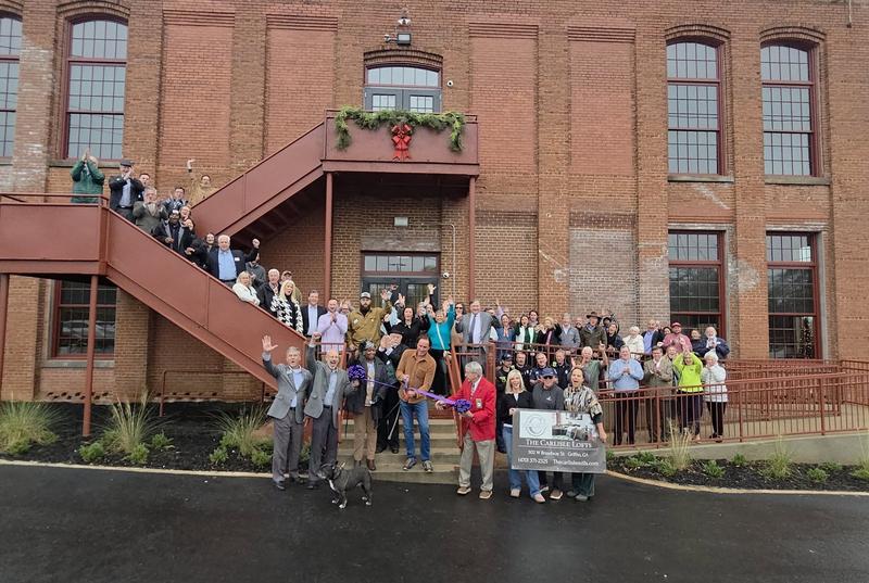
Historic structure site photo used for inspection planning and preservation analysis.
2. Multi-Parcel Assembly and Site Overviews
Evaluating assembled downtown properties from ground level makes it hard to see scale and spatial relationships. Low-altitude aerial photography maps contiguous parcels, alleyways, and public parking infrastructure in a single frame.
3. RFQ and RFP Solicitations
When issuing a Request for Qualifications (RFQ) or Request for Proposals (RFP) for blighted or vacant properties, high-quality visual assets attract serious developers. Clear aerial perspectives show property boundaries, surrounding commercial context, and access points directly within the solicitation packet. That becomes even more valuable when paired with the procurement discipline outlined in my post on how local government boards can vet software vendors and custom builds, because both processes depend on giving decision-makers clear, testable information.
4. Base Layer Imagery for Architectural Renderings
Before pitching a site concept to board members or investors, we use aerial photos as base layers for architectural renderings. Graphic designers overlay prospective 3D building models onto real-world aerial backgrounds, letting stakeholders picture finished developments in their exact urban context.

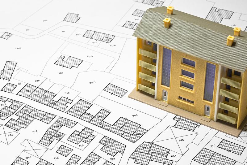
Housing redevelopment project site photo used for concept visualization and redevelopment strategy.
Practical Flight Operations Workflow
To ensure consistent results across all four use cases, every flight follows three structured steps:
- Airspace Verification: We check local airspace classifications and secure instant clearance via the Low Altitude Authorization and Notification Capability (LAANC) if operating in controlled airspace. [3] We also confirm Remote ID broadcast capability as required by federal regulations. [2]
- Standardized Flight Patterns: We execute low-altitude perimeter passes, 45-degree oblique contextual shots, and vertical wall tracks depending on the asset requirements.
- Data Integration: Imagery moves directly into project files for engineering review, developer solicitations, or marketing collateral.
Better Data, Lower Costs
Deploying drone technology changes how local boards evaluate and promote real estate assets. Instead of making capital decisions or developer pitches using ground-level photos, authorities obtain immediate visual clarity. High-resolution aerial imagery lowers inspection expenses, improves developer solicitations, and gives municipal leaders concrete data to drive downtown growth.
Frequently Asked Questions
Yes. If drone imagery supports municipal development, site marketing, or authority operations, the flight is commercial under Part 107 and cannot be conducted under recreational rules.
Yes. Compact sub-249 gram drones priced under $400 can capture high-resolution imagery that is often sufficient for roof scans, facade reviews, and site overviews.
The post identifies four core uses: historic preservation and building inspections, multi-parcel site overviews, RFQ and RFP solicitation packages, and aerial base layers for architectural renderings.
References
- Federal Aviation Administration. (2016). 14 CFR Part 107: Small Unmanned Aircraft Systems. Code of Federal Regulations. https://www.ecfr.gov/current/title-14/chapter-I/subchapter-F/part-107
- Federal Aviation Administration. (2021). 14 CFR Part 89: Remote Identification of Unmanned Aircraft. Code of Federal Regulations. https://www.ecfr.gov/current/title-14/chapter-I/subchapter-F/part-89
- Federal Aviation Administration. (2023). Low Altitude Authorization and Notification Capability (LAANC). U.S. Department of Transportation. https://www.faa.gov/uas/getting_started/laanc